
While passing through Tampa last summer while ferrying an aircraft to Africa, I caught up with Brad Janssen. Brad’s the Flight Operations Manager for Digital Aerial Solutions, a company that provides high resolution digital aerial imagery, LiDAR technology, visual information, and geospatial products.

Digital Aerial Solutions Cessna 441 Conquest II
While Brad has a wide-ranging aviation background, including being an aircraft dispatcher for two different airlines and flying for some others, his real expertise is aerial surveys. I thought I knew something about aerial survey flying given my experience flying marine mammal surveys, but our conversation made me realize the industry is a big one, and the work opportunities are more diverse than I thought.
If you’re looking to get into a type of precision flying that few people know much about, you’ll enjoy this interview … our first just for Oddball Pilot members!
Audio
Press the Play icon to begin streaming the audio, or right-click the text link and choose “Save As” or “Save Link.”
[audio: brad_janssen_interview.mp3]Right-click to download the MP3 file (36 minutes – 16.7 MB)
Did you like this interview? Please leave your comments and questions below.
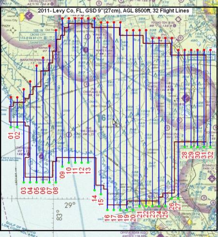
Gridlines
Videos
More Information
American Society for Photogrammetry and Remote Sensing (ASPRS)
Management Association for Private Photogrammetric Surveyors (MAPPS)
No comments yet.